

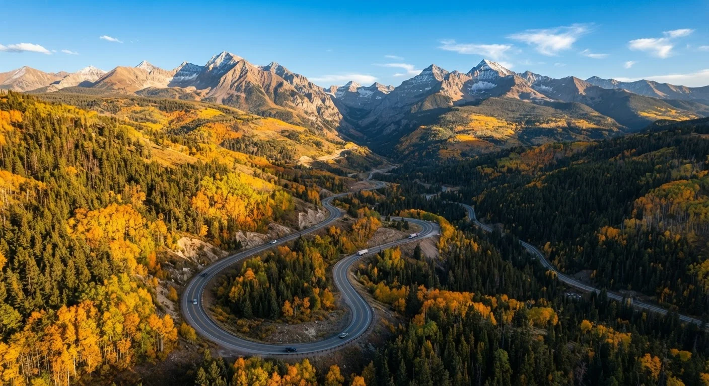
Understanding Colorado's Key Highway Corridors
Colorado road-tripping isn't really about picking a single route - it's about understanding which corridors suit how you actually want to travel. Each major highway through the Rockies connects a different sequence of towns, landscapes, and experiences, and the corridor you anchor to will largely define your trip's personality.
I-70 West is the spine most travelers use. From Denver, it climbs through the Front Range and passes through Georgetown, the Eisenhower Tunnel, Vail, and Glenwood Canyon before reaching Grand Junction. It's the most accessible route - well-maintained, heavily traveled, and lined with services. The tradeoff is weekend traffic that can back up dramatically between Denver and the ski corridor.
US-550 (the San Juan Skyway corridor) runs from Durango north through Silverton and Ouray to Montrose, earning the nickname "Million Dollar Highway" for its narrow lanes carved into cliff faces above serious drop-offs. This is arguably the most visually arresting drive in the state, but it genuinely requires calm, attentive driving. If you're uncomfortable with steep grades and no guardrails in places, that's worth factoring honestly into your plans.
US-285 South and US-160 West offer a quieter path through South Park and the San Luis Valley toward Alamosa and the Great Sand Dunes - a lower-elevation, less-trafficked arc that surprises many visitors with its wide-open basin landscapes.
For most first-time visitors, a hybrid itinerary anchoring around two of these corridors - typically I-70 plus 550 - gives the most dimensional experience of what Colorado actually contains.
How to Build Your Itinerary Step by Step
Once you understand the corridors, structuring a workable itinerary comes down to a handful of decisions made in the right order. The steps below apply whether you have five days or ten.
Choose your entry and exit points first
Most Colorado road trips begin and end in Denver, which gives easy access to I-70. If you're flying in, confirm your rental pickup location - Denver International Airport is east of the city, and heading west toward the mountains means navigating through downtown Denver or using the northern bypass via US-36. Alternatively, flying into Colorado Springs or Grand Junction opens different starting corridors entirely.
Anchor around two or three overnight towns, not a list of stops
The most common mistake on Colorado road trips is treating every scenic town as a half-day stop. Towns like Ouray, Telluride, Crested Butte, and Steamboat Springs each reward at least two nights - enough time to walk the main street, do a morning trail, and understand what makes the place distinct. Pick your two or three anchors first, then add day-trip detours from those bases rather than stringing together a new town every night.
Map your driving days against realistic mountain road timing
Mountain driving takes longer than the mileage suggests. Highway 550 between Ouray and Silverton is only about 24 miles, but allow at least 45 minutes and more if you stop at overlooks. Build this buffer into every segment: a day that looks like two hours of driving on a map may be three and a half hours in practice, especially if you're driving an unfamiliar vehicle on switchbacks.
Time your I-70 segments to avoid peak traffic windows
I-70 between Denver and the ski corridor is one of the most congested mountain highways in the country on Friday afternoons and Sunday evenings. If your itinerary requires driving I-70 westbound, aim to leave Denver by 9 a.m. or wait until after 7 p.m. Eastbound on Sunday, traffic often builds by 2 p.m. and stays heavy until 8 or 9 p.m. Planning an overnight in Vail, Breckenridge, or Glenwood Springs on your last night before returning to Denver sidesteps most of this entirely.
Check road and pass conditions before each driving day
Colorado's mountain passes can close due to weather, rockfall, or construction at any time of year, including summer. The Colorado Department of Transportation maintains a real-time conditions and closures map at cotrip.org - checking it each morning before you drive is a straightforward habit that prevents the frustration of arriving at a closed pass after an hour of driving. If a pass is closed, your GPS may not reflect current conditions.
If you're interested in how Colorado's approach compares to other classic American drives, our piece on the Pacific Coast Highway versus the Blue Ridge Parkway explores how corridor character shapes the whole experience of a road trip.
Build In At Least One Unplanned Day
The most memorable moments on Colorado road trips tend to happen when an itinerary has breathing room - a spontaneous detour up a forest road, an extra morning in a town you didn't expect to love. If your schedule has every day fully committed from morning to evening, consider whether the slow travel philosophy might serve you better. Building in one fully unscheduled day per five days of travel gives you flexibility without feeling like wasted time.
Altitude, Timing, and a Few Honest Caveats
Colorado's mountain towns sit between roughly 6,500 and 11,000 feet above sea level. Most travelers arriving from coastal or flatland cities notice something in the first day or two - reduced energy, disrupted sleep, occasional headache. None of this is unusual, and most people adjust within 48 hours, but planning lighter activity on your first full day in elevation makes the rest of the trip meaningfully more enjoyable.
Altitude Sickness Is Real and Unpredictable
Altitude sickness (acute mountain sickness) doesn't affect people in a predictable pattern - physically fit travelers can be hit harder than those who are less active. Symptoms include headache, nausea, dizziness, and fatigue. The standard guidance is to ascend gradually, stay well hydrated, and avoid alcohol on your first day at elevation. If symptoms are severe or worsen, descending to a lower elevation is the appropriate response. Anyone with heart or lung conditions should consult a healthcare professional before traveling to high altitude.
Weather is the other honest variable. Summer afternoon thunderstorms are predictable and fast-moving at high elevation - most hit between noon and 4 p.m. Scheduling hikes and exposed ridge drives for mornings and settling into towns by early afternoon is a practical rhythm that experienced Colorado visitors develop quickly.
If you find yourself drawn to the idea of slowing down and spending three or four nights in a single mountain town rather than moving daily, that instinct is worth honoring. Our piece on slow travel versus multi-destination trips walks through how to weigh those two philosophies honestly against how you actually travel.
The content on this site is for informational purposes only and is not a substitute for professional advice. Always consult a qualified professional for guidance specific to your situation.