

Summary
18 items · 20-35 minutes
Why Glacier Demands More Planning Than Most Parks
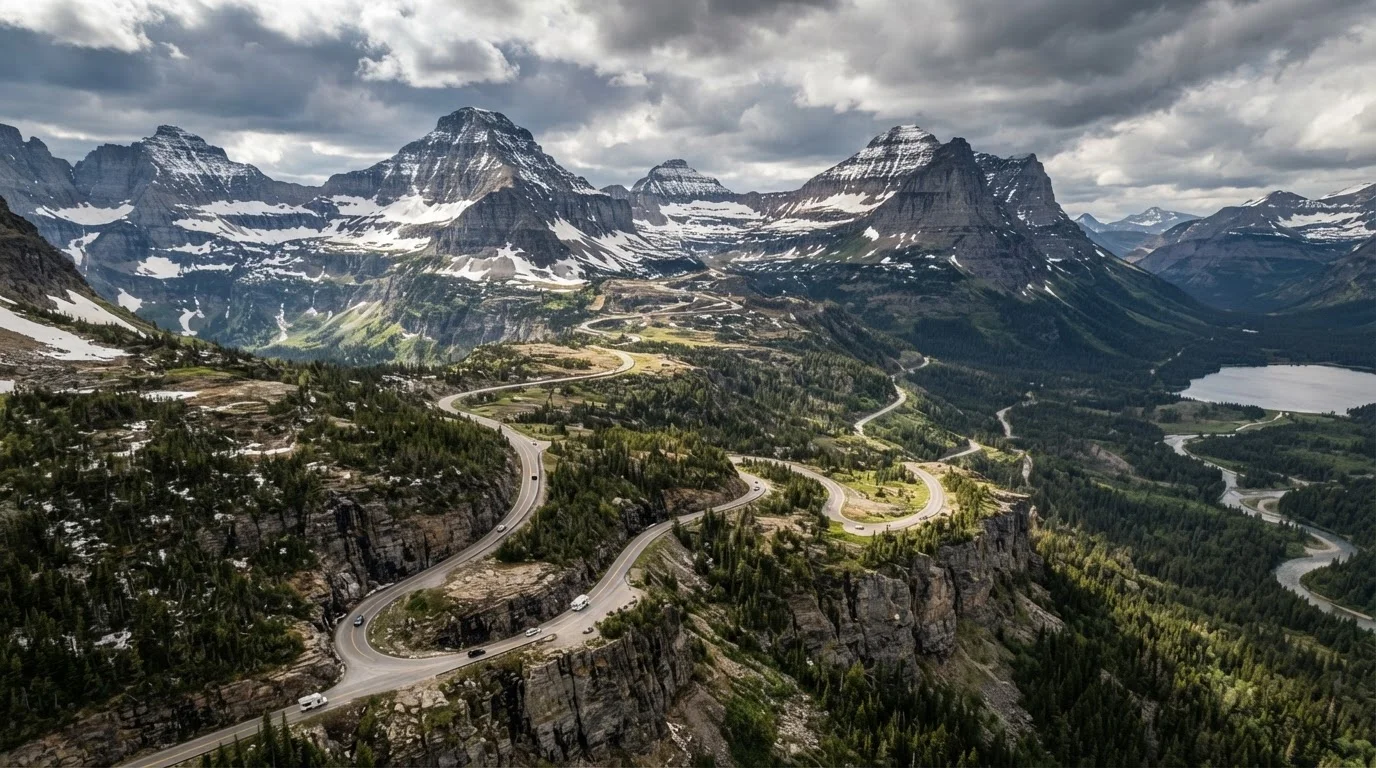
Glacier National Park in northwestern Montana is one of those places that rewards travelers who do their homework - and humbles those who don't. Its 1,600 square miles of glacier-carved terrain, along with a road network that's both spectacular and tightly controlled, means that showing up without a plan often means turning around at a checkpoint or sitting in a two-hour line for a parking spot that doesn't exist.
Unlike some parks where spontaneous visits still work out, Glacier has implemented timed entry permit requirements along its main corridors during peak season, generally running from late May through early September. Those permits release months ahead and are gone quickly. If you haven't secured access before you arrive, options become limited fast.
For first-time visitors still getting a feel for how America's parks actually operate, our guide on visiting a US national park for the first time covers the broader permit landscape and what to expect. Glacier, though, sits at the more demanding end of that spectrum.
Permits & Access
Lodging & Transportation
Gear & Safety Preparation
Health & Trail Readiness
Tools and Resources You'll Actually Use
Having the right resources loaded before you lose cell signal makes a genuine difference. Glacier's interior offers little to no connectivity on most roads, and the park's visitor centers - while helpful - can be overwhelmed during peak weeks. Come prepared.
NPS Glacier National Park Website
The authoritative source for current permit availability, road conditions, trail closures, and fee information.
Offline mapping app (e.g., Gaia GPS or AllTrails)
Download trail maps and GPS data before entering the park where cell service is unavailable.
Bear spray canister
A widely recommended deterrent for bear encounters; rangers advise carrying it on all backcountry and many frontcountry trails.
Recreation.gov account
Required to reserve timed entry permits and any backcountry camping permits for Glacier.
Physical park map (paper)
A backup navigation tool when digital devices lose battery or connectivity in remote areas.
Personal locator beacon (PLB) or satellite communicator
Enables emergency communication from areas with no cell coverage - worth considering for solo or backcountry hikers.
Don't Rely on Spotty Cell Coverage
Much of Glacier National Park - including stretches of Going-to-the-Sun Road and nearly all backcountry areas - has no reliable cell signal. Navigation apps that depend on a live data connection will fail you. Download all maps, permit confirmations, and emergency contacts before you leave the trailhead or enter the park's interior. This isn't a minor inconvenience; in an emergency, it matters.
Visitors planning a broader Montana trip sometimes pair Glacier with Yellowstone, though the parks are roughly 400 miles apart. If you're considering that route, it helps to know what catches people off guard at Yellowstone too - our look at what first-time visitors to Yellowstone consistently underestimate covers the most common missteps. And for a deeper dive into Glacier specifically, see our guide on getting the most from Glacier's demanding logistics.
Bear Country Is Not a Metaphor Here
Glacier has one of the densest grizzly bear populations in the contiguous United States. This is genuine bear country, and encounters - while not common - do happen. Rangers consistently recommend carrying bear spray, hiking in groups, making noise on the trail, and storing all food in bear canisters or hard-sided vehicle storage. Familiarize yourself with bear safety protocols before your trip, not during it.
The content on this site is for informational purposes only and is not a substitute for professional advice. Always consult a qualified professional for guidance specific to your situation.