

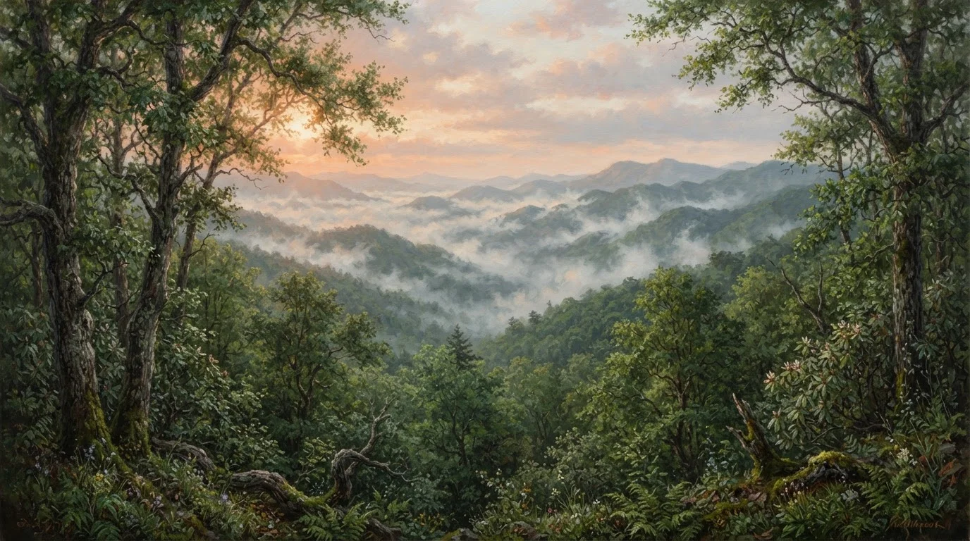
Why Gatlinburg Doesn't Tell the Whole Story
Great Smoky Mountains National Park draws more visitors annually than any other unit in the US national park system - consistently over 12 million people. The vast majority arrive through Gatlinburg, Tennessee, walk the first mile of a popular trail, and leave having seen a narrow corridor of a park that spans over 500,000 acres across two states.
That's not a criticism of Gatlinburg - it's a genuinely useful gateway town. But the experience it frames, with its traffic-choked Newfound Gap Road and well-worn Laurel Falls trailhead, is only the park's loudest chapter, not its most interesting one.
The Smokies reward effort and curiosity in ways that casual tourism rarely surfaces. Understanding how the park is actually structured - two states, multiple entrance corridors, enormous elevation range - is the first step toward a different kind of visit. If you're new to national park logistics altogether, this grounded introduction to how US national parks work is worth reading before you book anything.
12M+
Annual park visitors
Great Smoky Mountains consistently ranks as the most-visited US national park, according to NPS visitation data.
800+
Miles of maintained trails
Despite the park's size, the majority of foot traffic concentrates on a small fraction of its trail network.
~500K
Acres spanning two states
The park straddles Tennessee and North Carolina, with multiple entrance corridors most visitors never use.
The Quiet Side: Cataloochee Valley and the North Carolina Entrances
Drive past the Tennessee gateway crowds and cross into North Carolina, and the park's character shifts perceptibly. Cataloochee Valley, reached via a winding unpaved road off I-40, is arguably the park's most undervisited significant destination. It holds a collection of preserved 19th-century homesteads, a working church, and - most remarkably - a thriving herd of reintroduced elk that graze openly at dawn and dusk.
The valley requires about 45 minutes of deliberate driving from the interstate, which is precisely why it stays quiet. Visitor numbers here run a fraction of those at Cades Cove, the Tennessee-side pastoral valley that offers similar historic character but can see bumper-to-bumper traffic on summer weekends.
The Oconaluftee entrance near Cherokee, North Carolina, is the park's southern gateway and tends to move more freely than the Sugarlands entrance outside Gatlinburg. The Mountain Farm Museum at Oconaluftee Visitor Center offers context on Appalachian homestead life that many visitors drive past entirely.
If elk are your goal in Cataloochee, arrive at or before sunrise and stay patient near the open meadow areas - activity drops sharply once the sun is fully up.
Elk are crepuscular, most active in low light. Early arrival also beats the valley's limited parking, which can fill by mid-morning on weekends.
Ask a ranger at any visitor center about which trails have seen recent maintenance - storm damage and blowdown can make nominally open trails unexpectedly difficult.
The Smokies receive heavy precipitation and the dense canopy can mask downed trees and washed-out sections not yet updated on digital maps.
Trails That Most Visitors Walk Right Past
The Smokies contain over 800 miles of maintained trails. On a typical summer weekend, a disproportionate share of foot traffic concentrates on fewer than a dozen of them. Alum Cave Trail and Laurel Falls capture enormous crowds; meanwhile, trails like Ramsey Cascades, the park's tallest waterfall hike, or the Porters Creek Trail in Greenbrier - which passes old-growth forest and a historic cemetery - see a fraction of comparable use.
Greenbrier itself is a frequently overlooked entrance corridor on the Tennessee side, just a few miles east of Gatlinburg but separated from the main tourist flow. The area along Porters Creek Road offers old-growth hemlocks (some under conservation treatment), stream crossings, and spring wildflower displays that rival anything in the park.
Time Your Wildflower Window Carefully
The Smokies host one of the most diverse wildflower displays in the eastern US, with over 1,500 species of flowering plants. Peak bloom varies by elevation - lower hollows like Greenbrier may peak in late March, while higher trails see blooms into May. The park's website typically posts seasonal updates, and the Great Smoky Mountains Association publishes helpful bloom guides.
For hikers interested in serious elevation, the Appalachian Trail crosses the park's ridge for roughly 70 miles, and day sections from Newfound Gap offer genuine backcountry feel without requiring a multi-day commitment. The trail corridor also connects to the Blue Ridge Parkway, which forms part of a broader Appalachian driving circuit worth planning around.
What to Know About Crowds, Permits, and Timing
The Smokies operate without a timed-entry permit system as of this writing, unlike parks such as Arches or Rocky Mountain that have introduced reservation requirements for peak periods. However, parking at major trailheads fills completely by mid-morning on summer and fall weekends. Arriving before 8 a.m. isn't an exaggeration - it's often the line between parking and driving in circles.
Don't Rely on Real-Time Parking Availability
The park does not have a reliable real-time parking status system for most trailheads. On peak-season weekends, lots at popular destinations like Alum Cave and Clingmans Dome fill before 9 a.m. Rangers will turn vehicles away when lots are full, and roadside parking is prohibited and enforced. Plan to arrive early or choose less-trafficked alternatives.
Fall foliage typically peaks in mid-to-late October at lower elevations, and this period brings the park's absolute highest visitation. Spring - particularly April and early May - offers blooming wildflowers and thinner crowds, and many experienced visitors cite it as the park's most rewarding season. Winter is genuinely quiet, with occasional road closures due to ice but remarkable solitude on trails.
This dynamic of crowd intensity versus reward isn't unique to the Smokies. Yellowstone visitors face similar miscalibrations - underestimating how much the park's size and logistics shape the experience.
Planning Your Trip: Practical Considerations
Cell service is unreliable throughout most of the park interior, and GPS routing can behave unpredictably on mountain roads. Download offline maps - National Geographic Trails Illustrated produces detailed topographic maps for the Smokies - before leaving cell range. Paper maps remain genuinely useful here.
The park is free to enter, which contributes to its visitation numbers. There are no entrance fees, though some developed campgrounds charge nightly rates and reservations fill quickly. Backcountry camping requires a permit and reservation through the park's system.
Accommodations in Gatlinburg and Pigeon Forge range broadly in character and price; the towns of Cherokee and Bryson City on the North Carolina side offer quieter alternatives with solid access to the park's southern trails and Cataloochee. For travelers extending their trip, Nashville sits about four hours northwest and makes a logical pairing for a longer Southern road trip.
The Smokies reward visitors who treat the park as a place to explore rather than a checklist of landmarks. That shift in mindset - away from the top-five trail circuit and toward the park's quieter geography - consistently produces the more memorable visit.
The content on this site is for informational purposes only and is not a substitute for professional advice. Always consult a qualified professional for guidance specific to your situation.