

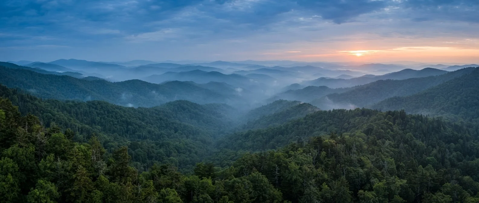
What You're Actually Dealing With
Great Smoky Mountains National Park is the most-visited national park in the United States - consistently drawing more annual visitors than Yellowstone and Glacier combined. That fact alone shapes the experience. Unlike Glacier National Park, the Smokies charge no entrance fee, which partly explains the crowds but also means accessibility is genuinely broad.
The park straddles the border of Tennessee and North Carolina, covering roughly 520 square miles of forested mountain terrain. Most visitors enter from the Tennessee side - through Gatlinburg or Townsend - but the North Carolina entrance near Cherokee and Bryson City offers a noticeably quieter experience. If you want to understand the full picture, our guide to the Smokies beyond Gatlinburg is worth reading before you settle on an itinerary.
| Location | Straddles Tennessee and North Carolina in the southern Appalachians |
| Annual Visitors | Approximately 12-13 million per year (National Park Service visitor statistics) |
| Entrance Fee | None - no fee to enter the park (National Park Service) |
| Highest Point | Clingmans Dome, 6,643 feet |
| Main Cross-Park Route | Newfound Gap Road (US-441) |
| Primary Tennessee Gateway | Gatlinburg |
| Primary North Carolina Gateway | Cherokee and Bryson City |
| Park Area | Approximately 520 square miles (National Park Service) |
The Park's Core Geography
The park's main spine runs roughly northeast to southwest along the state line. Newfound Gap Road (US-441) is the only route that crosses the park and connects the two states - it's scenic, heavily trafficked in peak season, and a key reference point for navigation. Clingmans Dome, the park's highest point at 6,643 feet, sits just off this road and is accessible by a short but steep paved trail.
Three distinct zones matter for trip planning. The Gatlinburg corridor is the busiest - convenient, well-signed, but congested from spring through fall. The Cades Cove loop in the western Tennessee section offers wildlife viewing and historic structures, though the 11-mile one-way loop can back up on weekends. The North Carolina side - including Cataloochee Valley and the Nantahala-adjacent trails - draws far fewer visitors and rewards those willing to drive extra miles on gravel roads.
Newfound Gap Road
The only paved road crossing the full width of the park, connecting Gatlinburg, TN to Cherokee, NC via the state line ridge. It is the primary navigation spine for most visitors.
Cades Cove
An 11-mile one-way loop road in the western Tennessee section of the park, known for wildlife sightings and 19th-century homestead structures. Congestion is common on weekends.
Clingmans Dome
The highest point in the park at 6,643 feet, accessible by a spur road off Newfound Gap Road. A short but steep paved trail leads to an observation tower at the summit.
Cataloochee Valley
A remote valley on the North Carolina side of the park, accessible via gravel road. Known for elk sightings and historic structures, it sees significantly fewer visitors than the Tennessee entrances.
Gateway Towns and What They Each Offer
Gatlinburg is the dominant gateway - dense with lodging, restaurants, and tourist attractions immediately outside the park's main entrance. It functions more like a resort corridor than a mountain town, which suits some travelers and exhausts others. Pigeon Forge, a few miles north, leans even harder into commercial entertainment. Neither is the park itself, so don't mistake proximity for immersion.
Townsend, on the quieter western edge of Tennessee, brands itself "the peaceful side of the Smokies" - and that's a fair characterization. Cherokee, NC, sits at the southern entrance and is also the home of the Eastern Band of Cherokee Indians, offering cultural context that meaningfully deepens a visit. Bryson City, a short drive away, has become a base for visitors drawn to whitewater, hiking, and the scenic Great Smoky Mountains Railroad.
For US visitors building a longer Southeast road trip, Nashville makes a logical starting or ending point - roughly three hours west. Our overview of Nashville for first-time visitors covers what the city offers beyond its downtown reputation. Alternatively, the Blue Ridge Parkway connects the Smokies region to Virginia - a natural extension for road trippers.
Reservations and Entry Requirements Change
The park has introduced reservation requirements for certain high-demand areas and time periods in recent years. These policies are subject to change. Always verify current entry, parking, and permit requirements directly on the official National Park Service website before finalizing your plans. Do not rely on third-party summaries, which may be outdated.
Practical Orientation Before You Arrive
Cell service is limited throughout the park - download offline maps before you leave your lodging. Parking at popular trailheads fills by mid-morning during peak season (generally late spring through fall foliage). The park introduced a reservation system for some high-demand areas in recent years; verify current requirements on the official NPS website before your trip, as these policies can change seasonally.
Weather changes quickly at elevation. Temperatures at Clingmans Dome can be 10-15°F cooler than in Gatlinburg, and afternoon thunderstorms are common in summer. If this is your first national park visit, our guide on what first-time park visitors need to know covers trail ratings, permit systems, and logistics that apply broadly. For a sense of scale - and what it looks like when a park is more logistically demanding - first-time Yellowstone visitors face a different but instructive set of challenges.
#1
Most-visited US national park
Great Smoky Mountains has ranked as the most-visited national park in the US for decades, according to National Park Service data.
800+
Miles of hiking trails
The park contains more than 800 miles of maintained trails, ranging from short accessible walks to multi-day backcountry routes.
~10-15°F
Temperature drop at summit elevation
Temperatures at Clingmans Dome are typically 10-15°F cooler than at the park's lower-elevation entrances, making layering essential year-round.
The content on this site is for informational purposes only and is not a substitute for professional advice. Always consult a qualified professional for guidance specific to your situation.